Problem
Useful property information was spread across separate government datasets and map services, making preliminary land assessment slow and fragmented.
Built
Property intelligence for land valuers, assessors, managers and farmers.
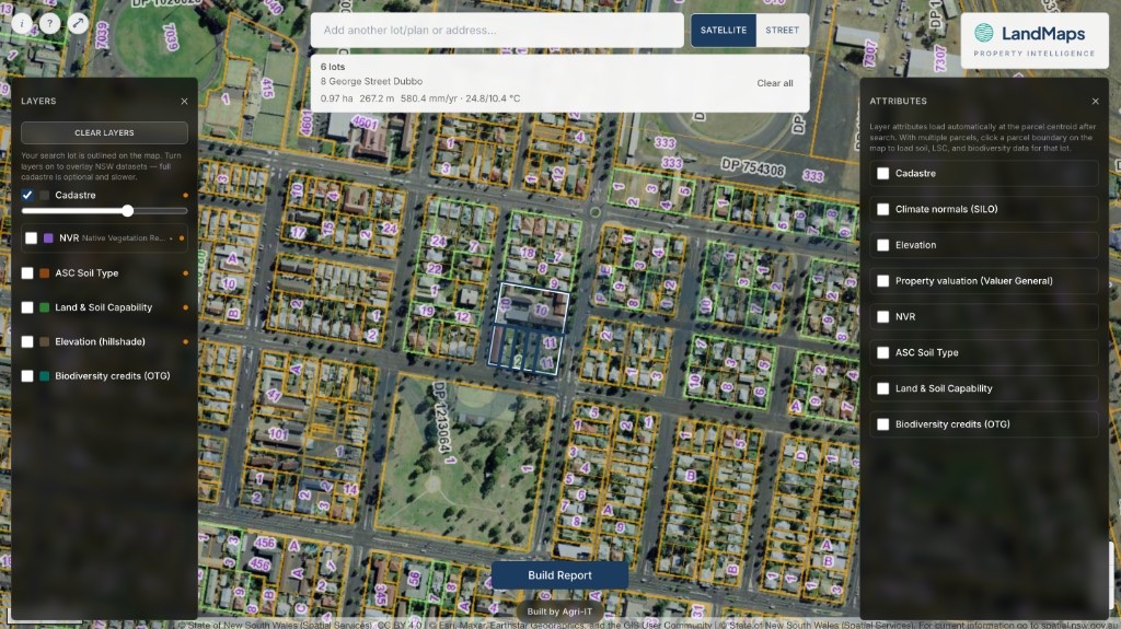
Useful property information was spread across separate government datasets and map services, making preliminary land assessment slow and fragmented.
Agri-IT brought NSW cadastre, addressing, elevation, climate, soils, land capability, biodiversity, vegetation, valuation and sales data into one searchable spatial interface.
Users can search by address or lot/plan, explore property layers and attributes, and build a faster preliminary picture of land from one map.
Property intelligence was scattered across separate government datasets and map services.
Start with a property search, then bring the relevant spatial context to the user in one place.
Combined lot, address, terrain, climate, soil, vegetation and valuation layers in a single map workflow.
A working property intelligence tool for land valuers, assessors, managers and farmers.
The difficult part is not displaying more layers. It is making provenance, limitations and preliminary-use disclaimers clear enough for responsible decisions.
Which property information or workflow would make this more useful?
Send feedback